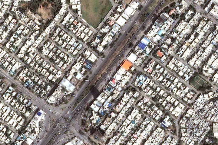
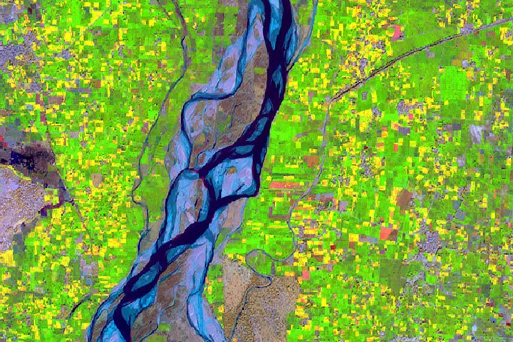
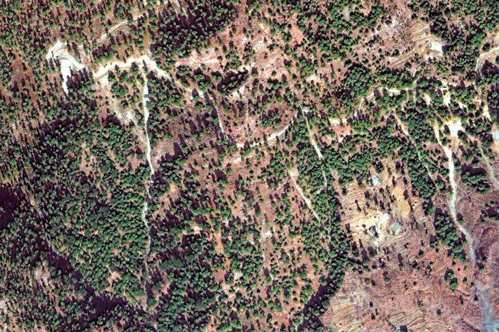
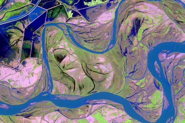
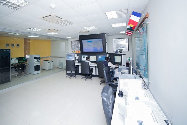
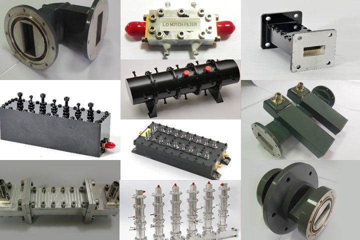
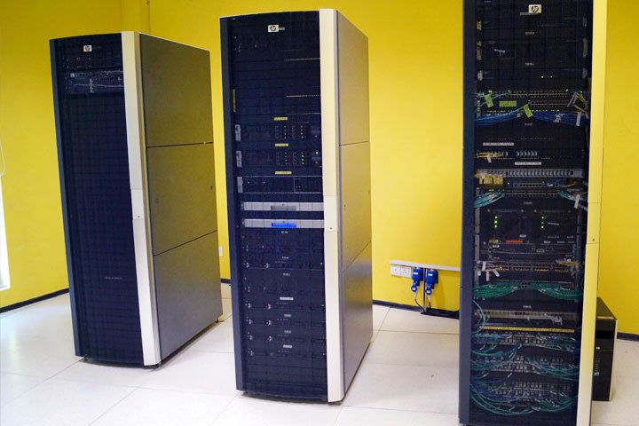
Products & Services Home»Products & Services Remote Sensing Data Products SUPARCO Satellite Ground Station (SGS) at Islamabad is capable of… Agriculture Satellite Remote Sensing plays a vital role in monitoring agriculture… Forestry Forests of Pakistan, from northern mountains to coastal mangroves are… Disaster Management Natural disasters are a major risk to a country's sustainable… Water Resources Pakistan is an arid country heavily dependent on annual glacier… Environment Space based technologies such as remote sensing data have enhanced… Urban Planning and Management Remote Sensing techniques are helpful in various aspects of urban… Cryosphere Modeling Glacier changes can affect drinking water supplies, agriculture, hydroelectric power,… Coastal and Marine Resources Coastal zones and marine resources are invariably characterized rich natural… Geology & Mineral Prospection Satellite remote sensing provides information for rock types classification, structural… Geographic Information System (GIS) Geographic Information System (GIS) is widely used to monitor and… Aerial Remote Sensing Services High Resolution Aerial Imaging & Monitoring Asset Management Objects detection… Pakistan Space Weather Center SUPARCO has been engaged in space weather monitoring for the… COSPAS-SARSAT Satellite Aided Search and Rescue Programme SUPARCO is participating in… Microwave Products SUPARCO Institute of Technical Training (SITT) was established in the… Information & Communication Technology SUPARCO has developed and implemented various ICT solutions (Software and Networks) for business…